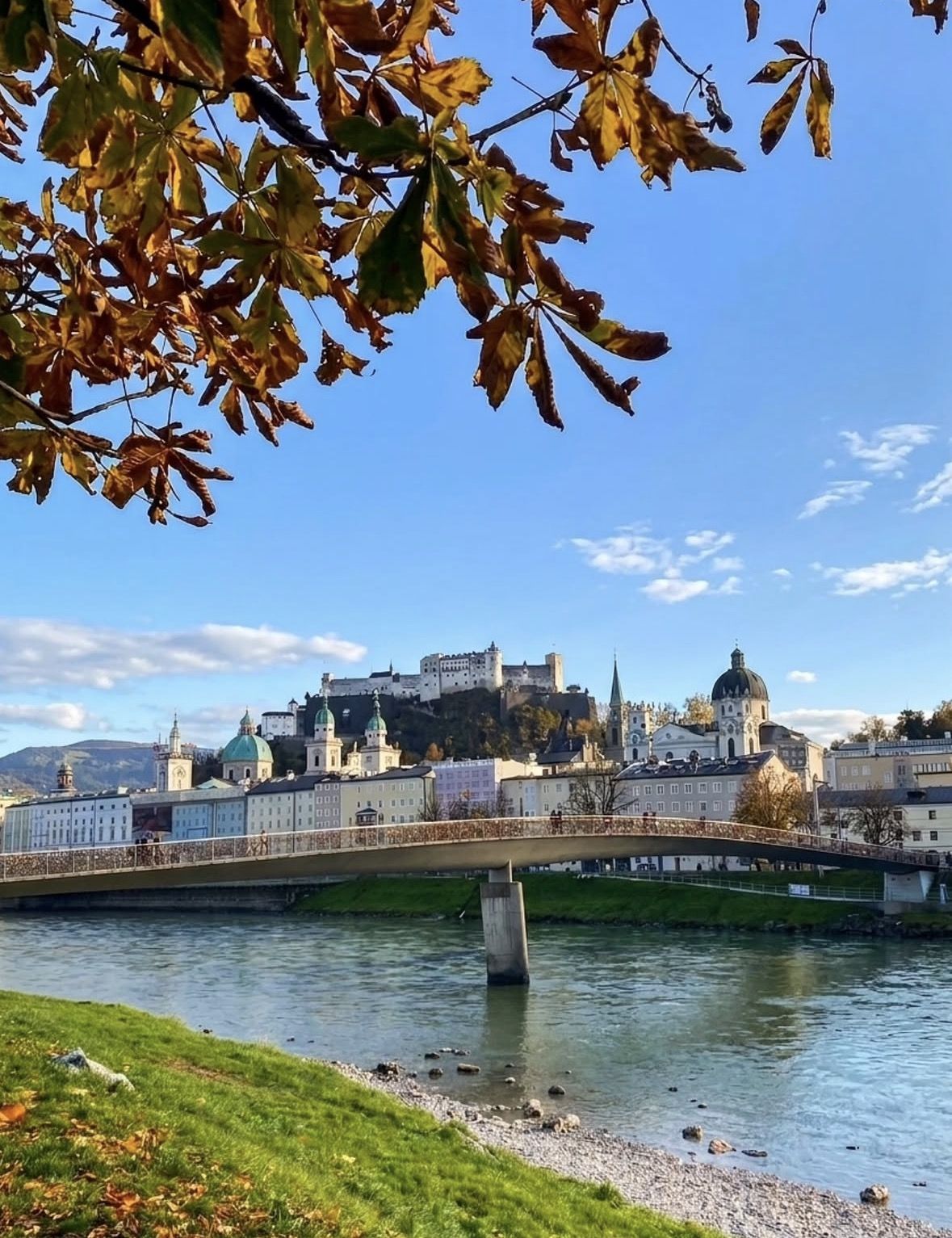
The city stands on both banks of the Salzach in western Austria, where the last Alpine foothills run out into flatter country. Below you will find it on the map, then which sights sit within walking distance and which ones need a bus or a coach.
Updated 2 November 2026
In shortSalzburg sits in western Austria, on both banks of the Salzach where the Alpine foothills meet the flatter land running north into Bavaria. The German border is close, with the motorway crossing at Walserberg. The valley floor lies around 430 metres above sea level. Munich is about 1 hour 40 minutes away on the fastest trains; Vienna is about 332 km east, about 2 hours 25 minutes on the fastest Railjet Xpress.
430 mairport, above sea level
236 hectaresUNESCO-protected centre
536 mwhere the funicular stops
about 332 kmby road to Vienna
Main sights in the Old TownNearby villages and excursionsVisitor information and tour departure points
The Old Town landmarks, the tour departure points and the nearby excursions reached by the tours on this site.
The city's position and what lies around it
Salzburg stands in the west of Austria, in the federal state of the same name, on the Salzach at the point where the last Alpine foothills give way to open country running north into Bavaria. The German border is close by: the motorway crossing is Walserberg, traffic from Germany arrives on the A8, and the A1 and A10 feed the city from inside Austria. Salzburg Airport, on the western edge of town, is logged officially at 47° 47' 40" North, 13° 00' 12" East and 430 metres above sea level, which is also roughly the height of the ground you walk on in the centre.
Vienna lies about 332 km east by road, some 206 miles. Two ÖBB Railjet departures an hour connect the two cities, the quickest Railjet Xpress running about 2 hours 25 minutes by way of St. Pölten and Linz, and Vienna Airport has its own hourly direct Railjet from 2 hours 50 minutes. Munich is the nearer gateway, from about 1 hour 40 minutes by train.
The terrain changes fast once you look south on the map. The Untersbergbahn ends at 1,776 metres on a massif whose summit is 1,852 metres, and the salt country starts about 19 km out at Bad Dürrnberg above Hallein. Werfen and the lake village of Hallstatt are day-trip distance rather than an afternoon stroll, whatever the kilometre count suggests.
The Old Town, bank by bank
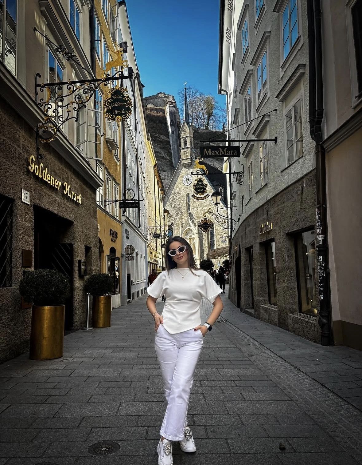
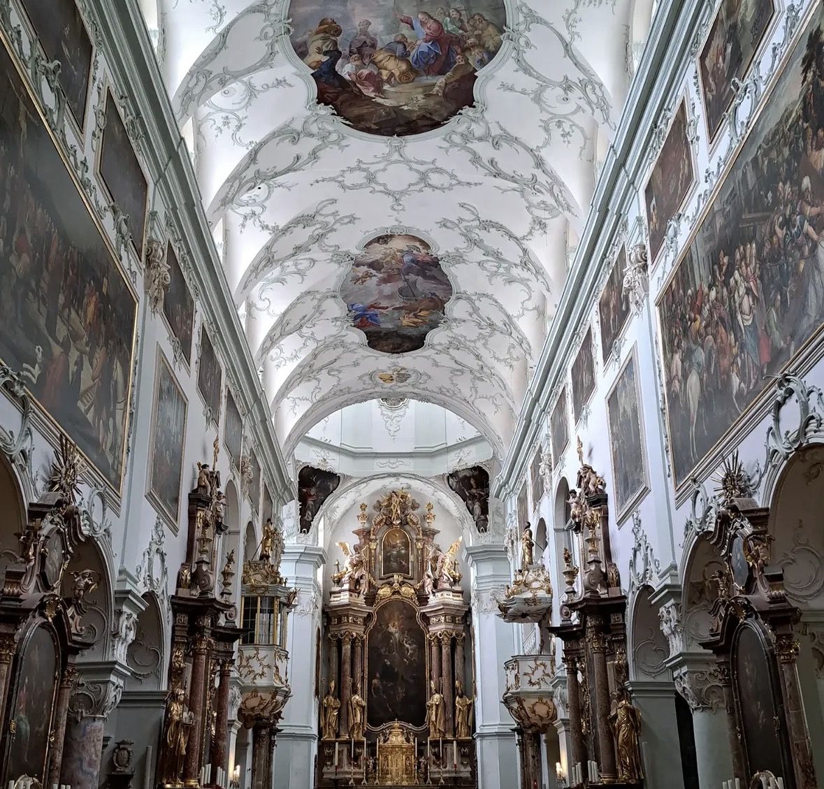
The left bank holds what most people picture. Under the rock crowned by Hohensalzburg sit the cathedral, Residenzplatz with its 15-metre fountain attributed to Tommaso di Garone, Mozartplatz with the tourist office at number 5, Getreidegasse with the house at number 9 where Mozart was born on 27 January 1756, and St. Peter's, whose catacombs are cut into the Mönchsberg rock. Carry on west and you are in the festival district, with the Felsenreitschule, a quarry turned riding school in 1693, and the horse pond of 1695 facing the Festival Hall on Herbert-von-Karajan-Platz. Go east along the foot of the hill instead and you reach Nonnberg Abbey, founded in the 8th century. Festungsgasse and the funicular valley station are on this side too, and the ride lifts you to 536 m.
The right bank is where the gardens and the trains are. Mirabell Palace and its garden fill the block behind Mirabellplatz, which doubles as the departure point for coach half-days out of the city. Linzer Gasse runs east from the river, with the state-certified guides' office at number 21/3. Salzburg Hauptbahnhof stands north of Mirabell, with lockers, a lounge and a tourist information centre.
The Staatsbrücke carries the traffic between the two banks, and footbridges handle the rest of the crossings. One of them is worth knowing by name: the Marko-Feingold-Steg in the Old Town, where the Salzach boats cast off for a roughly 8 km run towards Hellbrunn and back during the season. Both banks together make up the protected centre, about 236 hectares and roughly 1,000 historic buildings, inscribed by UNESCO in 1996.
Use the map on this page to fix three points before you set off: the rock on the left bank, the Staatsbrücke in the middle, Mirabellplatz on the right. Addresses and meeting points here are nearly always described from one of those three, including the departure points for the tours on this site.
Two hours across both banks
A 2-hour small-group walk from €39, rated 4.5 ★ (352 reviews), covering the Old Town and the Mozart addresses with entry to the Mirabell Palace Gardens included. The starting point is on the right bank, at the main entrance to Salzburg Congress on Rainerstraße 3.
Inside the Old Town you walk, and the area is closed to cars in any case. The cathedral quarter, Getreidegasse, the festival district, Mozartplatz and the funicular valley station all sit within the same protected zone, and Mirabell is one bridge away on the other bank. Trolleybus lines 1, 3, 5, 6 and 25 come in from the main station; get off at Rathaus or Ferdinand-Hanusch-Platz and Festungsgasse is about five minutes on foot.
The sights that need transport are mostly strung out to the south. Hellbrunn is on bus 25 towards Untersbergbahn, roughly 25 minutes from the Rathaus stop and 30 from the main station, and the Untersbergbahn valley station sits at the far end of that same corridor. Bad Dürrnberg is about 19 km out, at Ramsaustraße 3. Werfen's ice cave and Hallstatt lie beyond bus-and-back range from the centre; the Hallstatt trips on this site cover that distance as full days of 8 to 10 hours by coach.
Place
Where it sits
How you reach it
Cathedral, Residenzplatz, Getreidegasse 9
left bank, under the fortress rock
on foot inside the car-free Old Town
Hohensalzburg Fortress
on the rock above the left bank
straight up from Festungsgasse: 536 m by funicular, or about 30 minutes of climbing on the path
Mirabell Palace and Gardens
right bank, behind Mirabellplatz
on foot from the Staatsbrücke; Mirabellplatz is also the coach departure point
Salzburg Hauptbahnhof
right bank, north of Mirabell
trolleybus 1, 3, 5, 6 or 25 to Rathaus or Ferdinand-Hanusch-Platz
Hellbrunn Palace and gardens
south of the city
bus 25 towards Untersbergbahn, roughly 25 minutes from Rathaus, 30 from the main station
Salzwelten salt mine
Ramsaustraße 3, Bad Dürrnberg, about 19 km out
regional transport, with on-site parking at the mine
Salzburg Airport
western edge of the city, 430 m above sea level
bus 10 to the centre in about 15 minutes, bus 2 to the main station in about 23 minutes
Hallstatt
lake village well outside the city
guided full-day coach trip of 8 to 10 hours from Salzburg
Arriving by train, by plane or by car
Salzburg Hauptbahnhof is the simplest way in, and it puts you on the right bank with the Mirabell block between you and the river. The fastest trains from Munich take about 1 hour 40 minutes, and the Vienna Railjet services use the same station.
The airport sits at the western edge of town, close enough that one bus settles the transfer whichever bank you are heading for: line 10 puts you in the centre in about 15 minutes, line 2 at the main station in about 23 minutes.
Driving is the awkward option here. The Old Town is shut to cars, and the Neutor tunnel has been closed to motorised traffic since 14 September 2026 for several months, which narrows the approach further. The fortress operator's own directions send drivers to Park & Ride at Messezentrum, off the A1, or Alpenstraße at the Salzburg-Süd exit of the A10, and on by public transport from there. Tour coaches have fixed addresses, the North Bus Terminal on Paris-Lodron-Straße or the South Bus Terminal on Erzabt-Klotz-Straße, with arrival time slots booked online in advance. The arrival and getting-around pages on this site go through the detail.
Where to base your stay
Stay on the left bank inside the protected centre if your plan is the cathedral quarter, the museums and the fortress, and if you arrive without a car. From a bed near Getreidegasse or the festival district the funicular valley station is minutes away, and you need no timetable for the core of the visit.
The right bank around Mirabellplatz and Linzer Gasse suits a different trip. You are close to the main station, one bridge from the Old Town, and standing at the departure point used by the coach half-days, which matters if you have booked Hallstatt, the salt mine or the film locations. Overnight guests anywhere in Salzburg Land get a Guest Mobility Ticket with their stay, valid for the whole visit on city and regional buses, the S-Bahn and regional trains, so a bed a little outside the centre only costs you travel time.
Left bank, inside the car-free Old Town: cathedral quarter, Getreidegasse 9, festival district and Festungsgasse all on foot
Right bank near Mirabellplatz: the Mirabell gardens, the main station and the coach departure point for day tours
Anywhere with bus 25 on the doorstep: Hellbrunn in roughly 25 to 30 minutes and the Untersbergbahn further along the line
Arriving by car: plan on Park & Ride at Messezentrum or Alpenstraße instead of a space near the centre
Questions people ask
Is Salzburg in Austria or in Germany?
Salzburg is in Austria, in the west of the country, in the federal state of Salzburg. The German border sits close to the city, with the motorway crossing at Walserberg and the A8 bringing traffic in from the German side. The fastest trains from Munich reach the city in about 1 hour 40 minutes, which is why so many visitors assume it is Bavarian.
Which river runs through Salzburg, and can you go out on it?
The Salzach divides the city, and the Old Town spreads along both banks. Boats leave the Marko-Feingold-Steg in the Old Town on a roughly 8 km route towards Hellbrunn and back. The 2026 season ended on 1 November and the next one runs 6 March to 1 November 2027, with nothing running in winter, so check the current season before you build a day around it.
How high above sea level is Salzburg?
Salzburg Airport, on the western edge of the city, is officially listed at 430 metres above sea level, and that gives you the height of the valley floor. The fortress funicular climbs to 536 m above the Old Town. South of the city the Untersbergbahn runs up to 1,776 metres on a massif that tops out at 1,852 metres.
How do you get from the main station to the Old Town?
The station sits on the right bank, north of Mirabell. Trolleybus lines 1, 3, 5, 6 and 25 run from there into the centre; use the Rathaus or Ferdinand-Hanusch-Platz stops, about five minutes' walk from Festungsgasse. A one-hour core-zone ticket covers that ride, and overnight guests in Salzburg Land already hold a Guest Mobility Ticket for city and regional buses.
Where do day tours and guided walks start in Salzburg?
On the right bank, at Mirabellplatz: the terminal on the corner of Hubert Sattler Gasse 1, in front of St. Andrew church, is where most coach departures pull out. The Old Town walking tour on this site meets separately at the main entrance to Salzburg Congress, Rainerstraße 3, by the flagpoles between the Congress building and Kurgarten Park. Larger coaches are routed to the North or South Bus Terminal.
The Bavarian side of the border is easiest with the transport arranged. The salt mines and Bavarian mountains half-day runs 4 hours from the bus terminal at Mirabellplatz, from €90, rated 4.4 ★ (596 reviews), with 90 minutes inside the Berchtesgaden salt mine, and has you back in the Old Town for the evening.